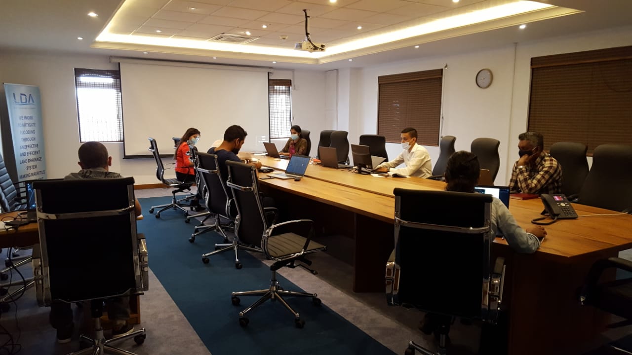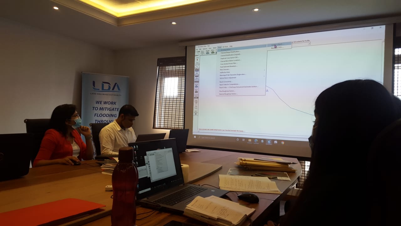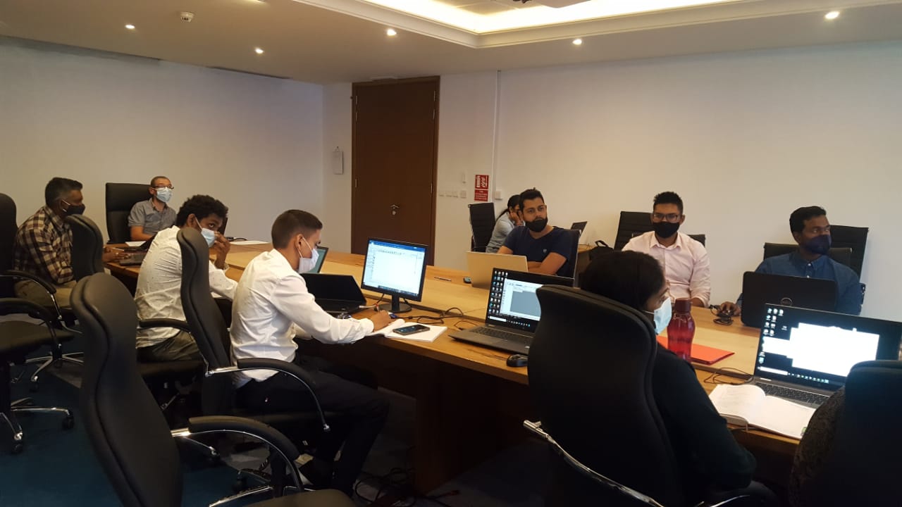
A “Short professional Course on Geographical Information Systems, GIS” in collaboration with the University of Mauritius has been carried out with all participants of the Local Authorities followed by an award of ceremony.
At the end of the course, the participants is able to locate a site on the Flood Map of the LDA, Create shape files and buffers and Create Maps.